
A new level
of space imaging
The first Russian commercial operator of ultra-high resolution Earth observation systems
About the company
TECHNOLOGICAL LEADERSHIP IN EARTH OBSERVATION
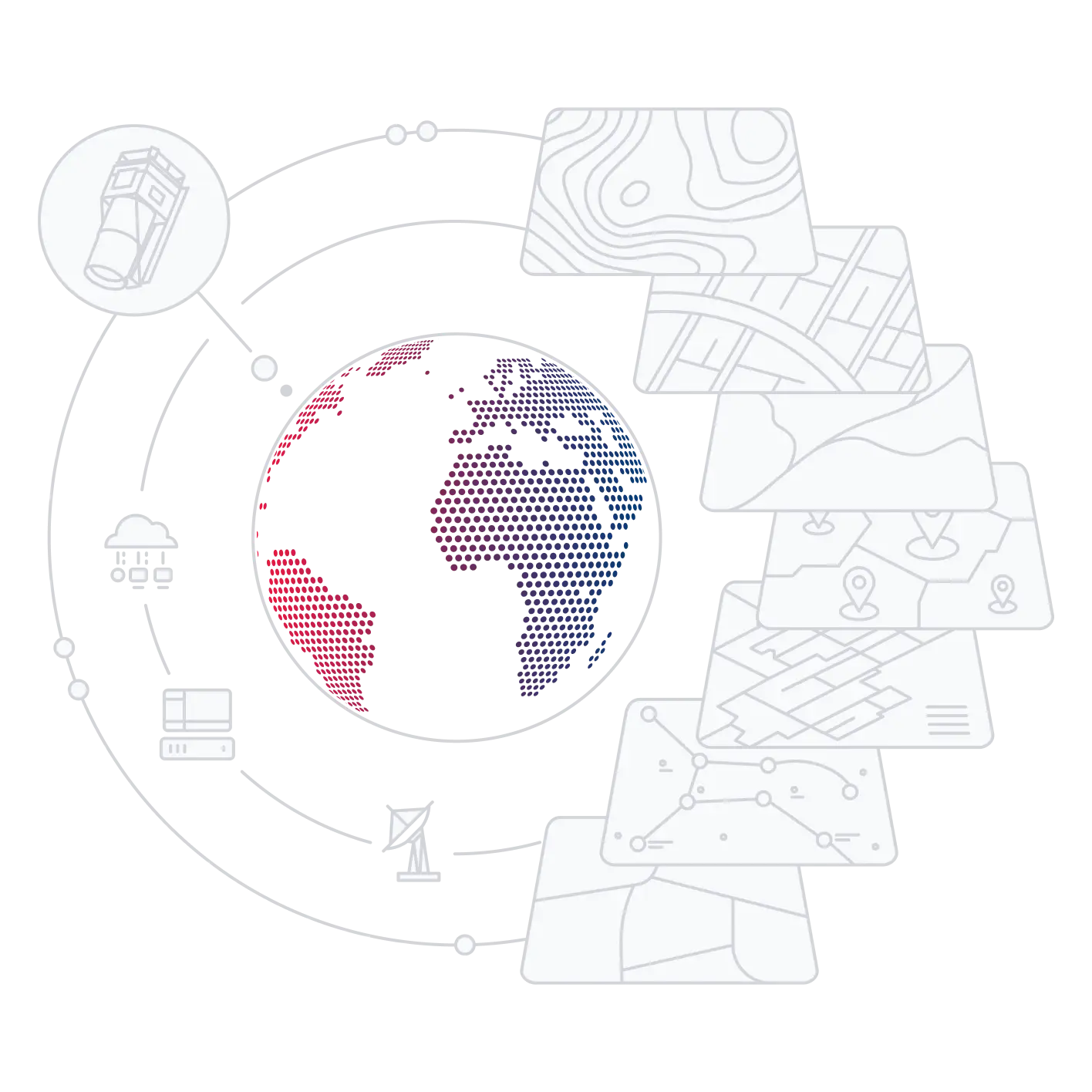
Ultra-high resolution data and data mining
«RUSPACE» is an operator of a unique ultra-high resolution Earth observation space system, providing services and facilities for solving applied tasks.
We are your source of exclusive satellite images with record-breaking detail that meet the highest international standards.
Our solutions include both ultra-high-resolution raw images and analytical services created using advanced technologies and artificial intelligence, as well as the possibility of renting a spacecraft capacity with direct data downlink to the customer's station.
OUR ADVANTAGES
-

Ultra-high
Data with a resolution of up to 0.25 meters provides an unprecedented level of visual information, opening up new opportunities in agriculture, construction, environmental monitoring, urban and territorial planning.
detail images -

Intelligent
Our software products and services use artificial intelligence to automate and accelerate image processing, providing up-to-date information in close to real time.
data processing -

Flexible Solutions
The analytical products and services provided are successfully adapted to the specific tasks of any customer, ensuring an individual approach and maximum efficiency of using Earth observation data.
for Business
RUSPACE GEOPLATFORM
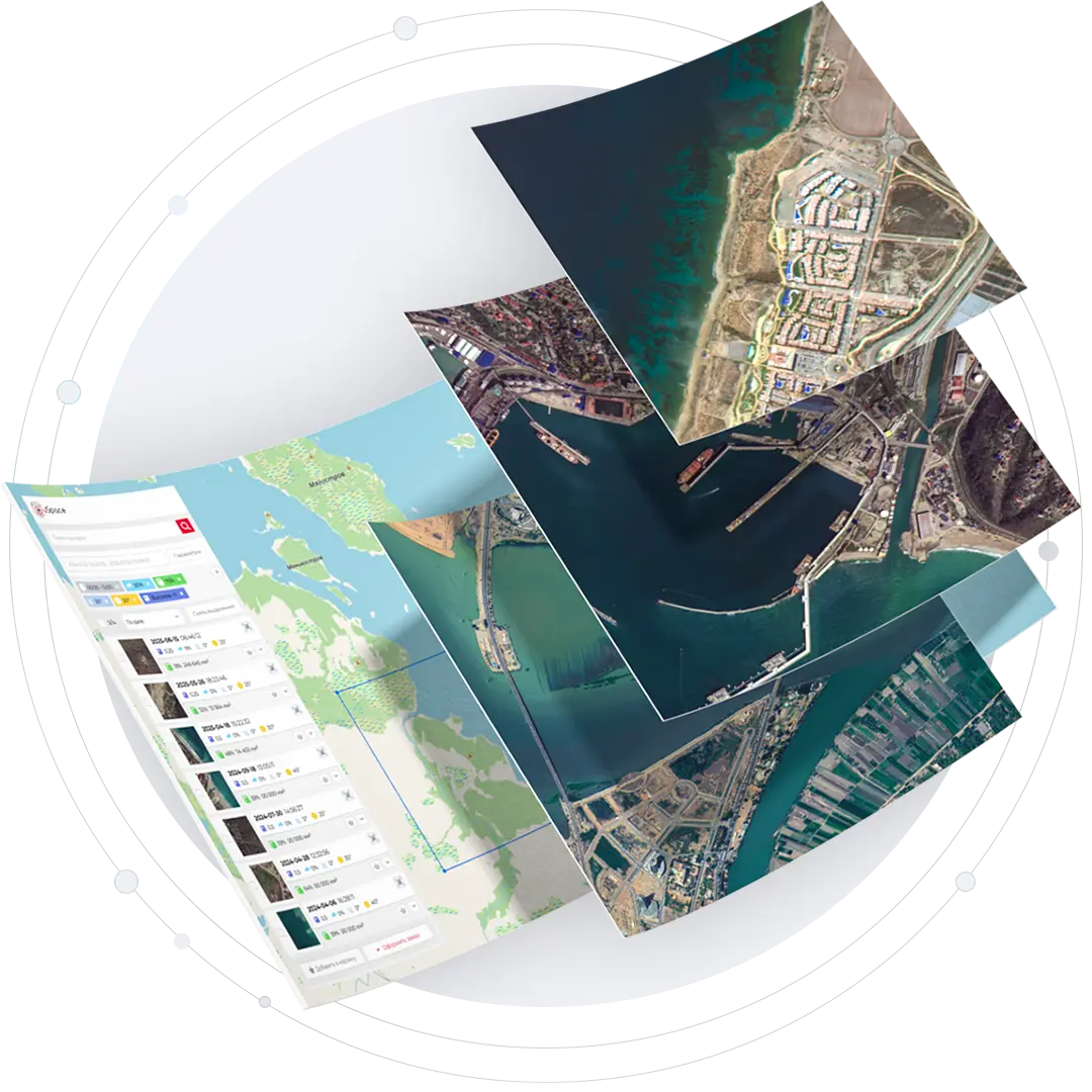
Use the data available or place orders for new ultra-high resolution satellite imagery.
 Earth observation data
 Meteorology
 Cartography
 Navigation
 Statistics
 Other data

Ready-to-use
satellite imagesUltra-high resolution Earth observation data processed to L1 and L2 levels

Analytical data and reports
Ready-made analytical products (reports, maps, indicators) based on Earth observation imagery adding AI algorithms and complex data analysis

AI - models and tools
In-depth analysis of Earth observation data for specific customer tasks using unique AI models and tools
The implemented tools and services make it possible to obtain the most detailed and reliable information for both business and government authorities in the shortest possible time
Online access to satellite imagery and services
-
Selection of ultra-high resolution archive imagery

-
Convenient ordering of new images based on parameters of interest

-
Earth observation data analysis and reporting

-
Application of AI and complex analysis algorithms

UNIQUE SERVICES
Spacecraft capacity rental
Full control over space imagery — no middlemen
Direct access to satellite with data downlink to your ground stationWe provide an opportunity to get not just satellite images, but direct and exclusive access to the capacity of our spacecraft. This is a fundamentally new level of interaction with Earth observation data.
Instead of the standard order of ready-made images or analytical reports, you get the opportunity to rent the operating time of the satellite — its key resource — to solve your specific tasks in orbit.
In turn, we provide technical support and compatibility so that you can focus on using space data as a direct tool to achieve your strategic goals.

Speed
The data comes to you directly from the spacecraft, bypassing our servers.
of Response
Full
Take full control of all available imaging and data processing parameters
control
Data
Information never passes through third parties. You are the only recipient.
privacy
Flexible
Quickly change tasks in emergency situations or rapidly changing conditions.
Planning
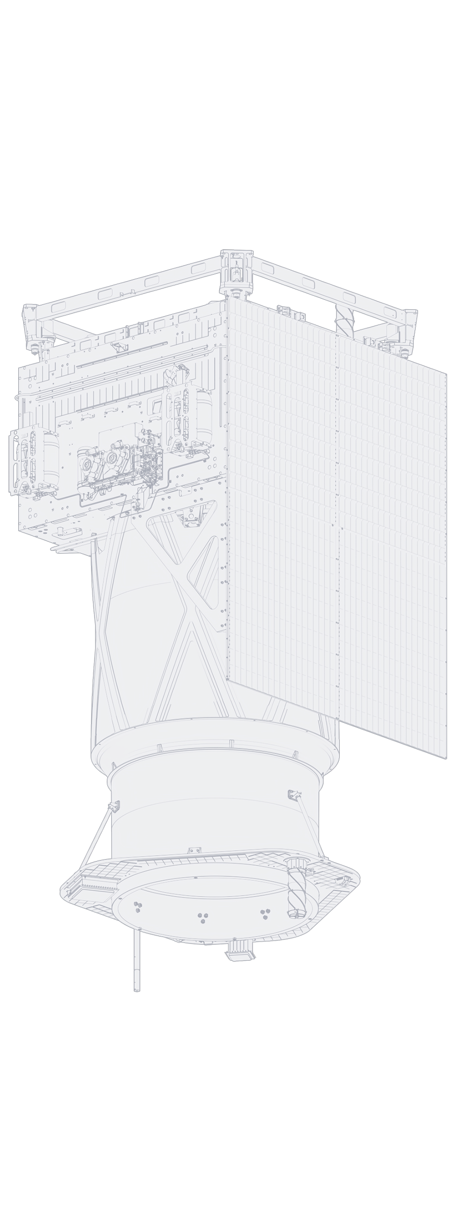
Earth observation spacecraft
TRITON-O
Optical spacecraft for ultra-high-resolution imaging
of the Earth's surface in the visible and near-infrared ranges
Spacecraft main parameters
- Spatial resolution 0.25 m
- Data downlink rate 1.6 Gbps
- Spacecraft mass 796 kg
Areas of application
Ultra-high data detail for everyone
The TRITON-O spacecraft can quickly image any area of interest and downlink data to ground stations based on the priorities set during planning.
-

National security
Monitoring and data analysis in conflict zones and border areas -

City management
Infrastructure monitoring, map updating, and territorial development planning -

Emergency situations
Emergency forecasting and assessment, development monitoring, damage and recovery analysis -

Agriculture
Accounting of agricultural lands, identification of violations and degradation, control of agricultural technologies -

Forestry
Forest monitoring: detection of deforestation, fires, restoration and violations of exploitation -

Construction
Geotechnical monitoring and support of mainline facilities construction -

Mining industry
Diagnostics of structures and support of engineering surveys -

Navigation and cartography
Creating and updating maps, digital terrain models, and monitoring of changes
Frequently Asked Questions
-
How does Ruspace differ from other Russian Earth observation satellite operators?The company combines a unique technology (0.25 m) and a business model of the future (deep data analytics). It is the first Russian commercial operator able to confidently compete with similar world-class companies, providing a wide range of services and facilities based on ultra-high-resolution Earth observation data.
-
What are the advantages of the TRITON-O Earth observation spacecraft?Ultra-high resolution of 0.25 meters and modern technology. This allows you to distinguish objects up to 25 cm in size in the images (for example, elements of road infrastructure, individual pieces of equipment, and small structural details of buildings). This level of detail opens up access to previously inaccessible projects in various fields where every centimeter and object matter.
-
When is the launch of the TRITON-O Earth observation spacecraft planned?The launch of the spacecraft is scheduled for 2028. This event will open a new stage in the development of the commercial space industry in Russia.
News
Company events and news
-
JSC RPC "BARL" produced a dynamic mock-up of the new Triton-O spacecraft
Under a project commissioned by OOO RUSPACE, JSC RPC "BARL" successfully completed the production of a dynamic mock-up of a new optical Earth observation spacecraft with a resolution of 0.25 m. -
OOO RUSPACE have accepted design documentation for the Triton-O ultra-high resolution optical Earth observation spacecraft
The Scientific and Technical Council, which includes leading experts from the rocket and space industry, reviewed the development results in the presence of investors and potential customers and confirmed full compliance with the technical assignment requirements. -
Ruspace company starts working with potential customers
Ruspace begins working with potential customers to form pre-orders for ultra-high-resolution 0.25-meter imaging data from the Triton-O future Earth observation spacecraft.